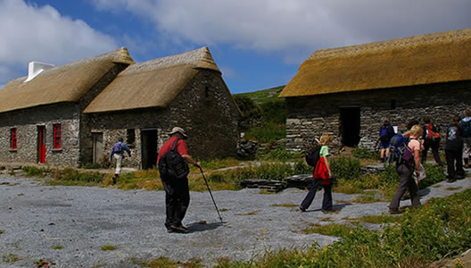
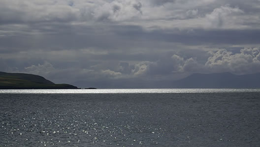
We offer two Dingle Way 5-Day tours, this one is more challenging than our other 5-day Dingle Way tour.
The Dingle Way is one of Ireland’s premier long-distance walking trails and is along part of the Wild Atlantic Way. Taking in a distance of 179 km, the Dingle Way trail reveals to you some of the most startling scenery that you will find anywhere in Ireland. You will encounter an array of archaeological monuments dating back from the Mesolithic Period of around 6000 BC including Standing Stones, Ogham Stones and a multitude of beehive huts, evidence of the rich culture of a bygone age.
Around the Dingle peninsula, you will enjoy views of lush green pastures sweeping down from the heather-clad mountains above to reach a wild and rugged Atlantic Coastline. The National Geographic Traveller has described The Dingle Peninsula as “the most beautiful place on earth”.
Prices / Dates
Price: €636 per person sharing
Single Supplement: +€325
Solo Traveller Supplement: +€50
Tour Dates: 1 April to 15 October
Tour Grade: Moderate
Accommodation: Guesthouse or B&B
Included / Excluded
- 4 nights bed & breakfast
- All accommodation is pre-booked in approved family-run guesthouses or B&Bs with all rooms en-suite.
- GPX Tracks
- Dingle Way Guide Book
- Details on restaurants and places of interest to visit along the way.
- Luggage transfers daily from inn to inn while you walk with a small day pack.
- All information on trains or buses needed to get to your first accommodation in Dingle town and back at the end of the tour from Cloghane Village.
- 24-7 Emergency Telephone support
- Public transport to the beginning of the tour and back at the end
- Packed Lunches
- Evening Meals
- Drinks and Snacks
- Personal Equipment
We will supply you with all the travel details to get you from Dublin or Shannon Airport to Dingle Town.
Your first day of walking along The Dingle Way is mostly along minor roads and beaches, but beyond the village of Ventry is some of the most spectacular scenery in Ireland.
The Dingle Way weaves through fuchsia hedges and climbs an old track on the foothill of Mount Eagle past the early Christian beehive huts at Fahan. Behind are views of Ventry Harbour and south are some amazing views of the Ring of Kerry and Valentia Island. Ahead, the Dingle Way opens up to Slea Head and the Blasket Islands. Beyond this is America!
Distance: 25.3 km / 15.5 miles, Ascent: 685 m / 2247 ft, Approximate walking time: 7 / 8 hours
Optional extra hike over Mount Eagle:
Distance: 7 km/4.3 miles, Ascent: 365 m/1197 ft, Approximate walking time: 3 hours
We recommend a visit to the Blasket Island Interpretative Centre to learn about the harshness of life on the islands. The last inhabitants resettled on the mainland in 1953. Other than fishing and sheep farming on the windblown hills, there is little else in this area to maintain the local communities. The route follows the Norse named Smerwick Harbour and a detour takes you to Dun an Oir, the Fort of Gold where Italian and Spaniard soldiers were besieged by troops of Elizabeth I in 1580. Ballydavid is a thriving fishing harbour and a Gaelic speaking community.
Distance: 22 km / 13.6 miles, Ascent: 429 m / 1407 ft, Approximate walking time: 6 / 7 hours
You are in the cradle of early Christian civilization here, with as many as sixty notable sites of cultural and religious development from the 5th to 9th centuries.
Today’s hike takes you up to the saddle of "Mas an Tiompain" (the Pass of the Drum) below Brandon, Ireland’s second-highest mountain at 950m. The scenery here is simply superb, with Tralee Bay and the Magharees against the hues of the Slieve Mish mountains. The descent to Cloghane is nothing short of thrilling on a clear day and well-earned respite is available in the village!
Distance: 27 km / 16.7 miles, Ascent: 750 m / 2460 ft, Approximate walking time: 7 / 8 hours
Today you will depart Cloghane.We will give you information on Local transport straight to Tralee to continue your onward journey


